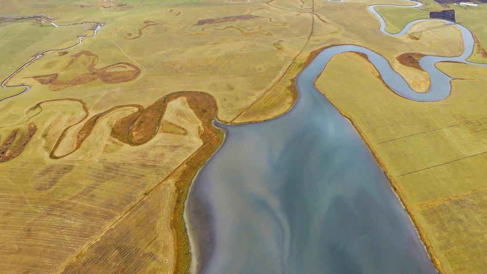
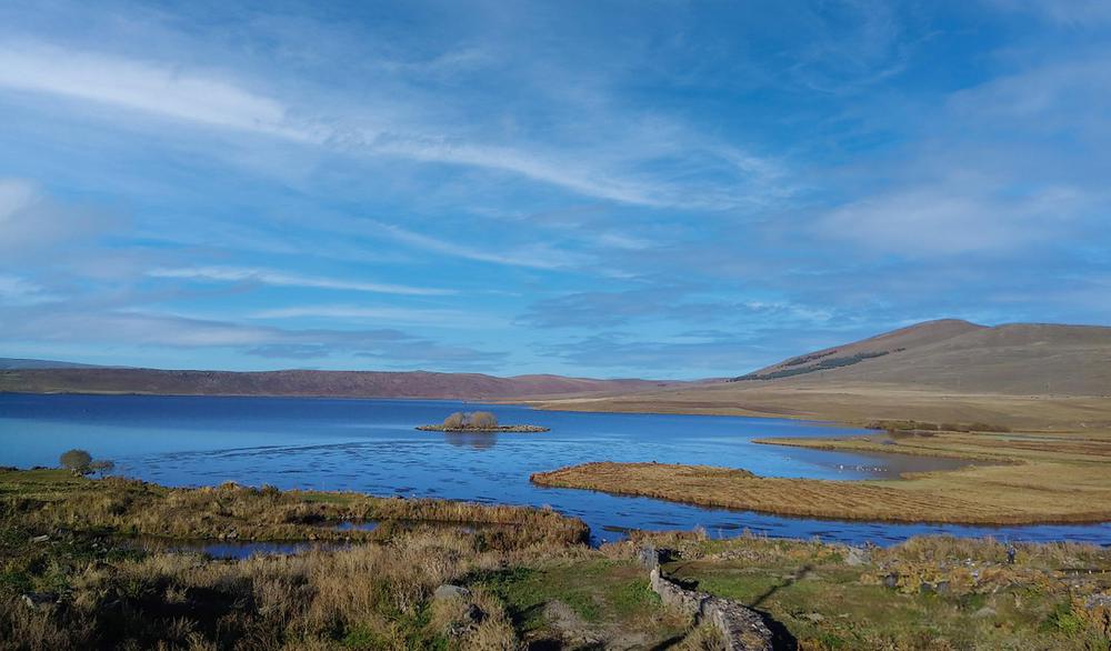
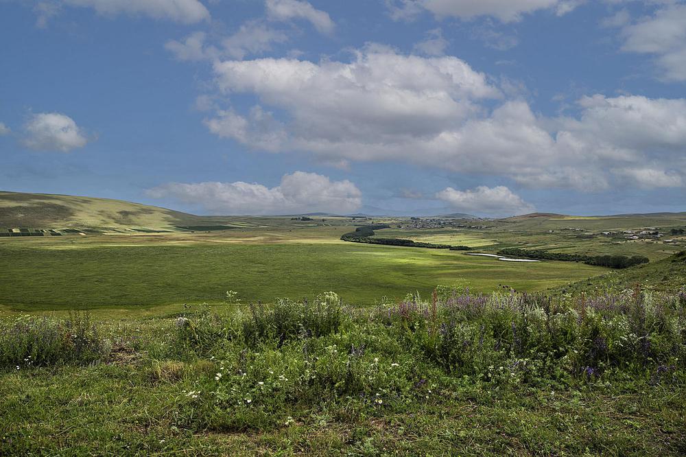
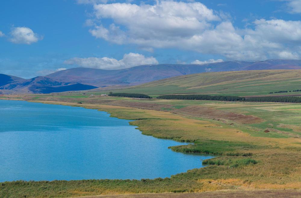
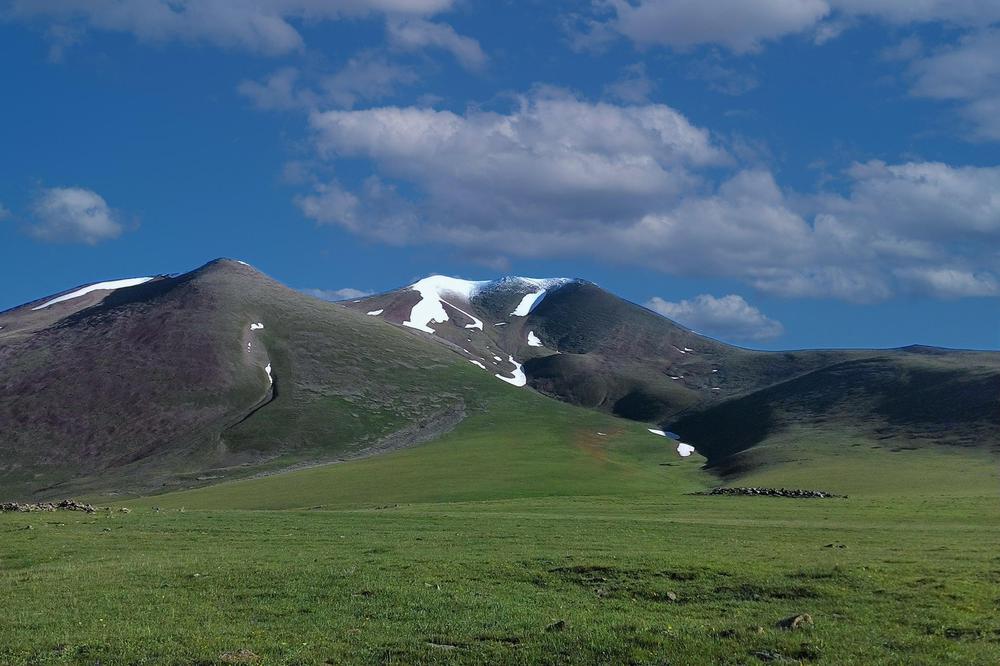
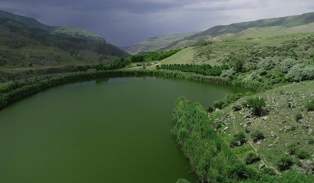
Perched at a lofty 1,928 meters (6,325 feet) above sea level, in the heart of the Javakheti volcanic mountain range, you'll find the stunning Khanchali Lake. With dimensions of 3.08 km (1.91 mi) by 2.64 km (1.64 mi), nestled within the Ninotsminda Municipality of the Samtskhe-Javakheti region, it is a part of the Khanchali Managed Reserve. The sheer grandeur of the Javakheti expanses, intermingled with alpine meadows and the serene blue of the lake, beckon nature enthusiasts and tourists alike.
With a surface area of 13.3 square kilometers (5.14 square miles), and a depth of only 0.8 meters (2.6 feet), Khanchali holds the record for the shallowest among Javakheti highland lakes. Fed by rain, snow, and groundwater, it boasts a basin sculpted by lava flows and a dense hydrographic network of up to ten minor tributaries flowing into it from the south and southeast. A dam divides the lake into two sections, its surface nearly blanketed entirely by aquatic plants.
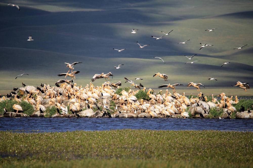
This shallow depth, coupled with warm fresh waters and a carpet of aquatic vegetation, make Khanchali Lake an avian paradise. From nesting to migratory, the lake hosts a splendid variety of bird species during summer, their vibrant colors adding to the spectacular palette of the landscape. Spot the common crane (Grus grus), grey heron (Ardea cinerea), white stork (Ciconia ciconia), great white pelican (Pelecanus onocrotalus), dalmatian pelican (Pelecanus crispus), and velvet scoter (Melanitta fusca) in their natural habitat.
A 3-kilometer (1.86-mile) hike from the higher-altitude village of Patara Khanchali offers enthralling views of the lake, as you meander towards the water and then follow the shore to the dam. Come winter, between November and April, Khanchali transforms into a shimmering wonderland, as a layer of ice coats the lake, and the surroundings wear a blanket of pristine snow.
Fishing enthusiasts, note that both sport and amateur fishing are permitted on Khanchali Lake and the Agrichai River.

