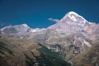
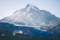
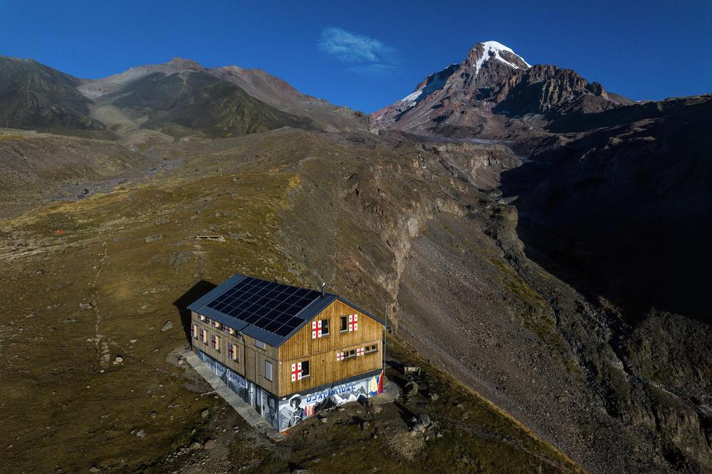
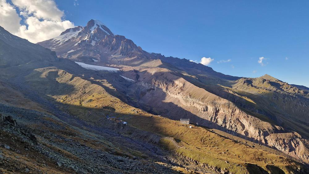
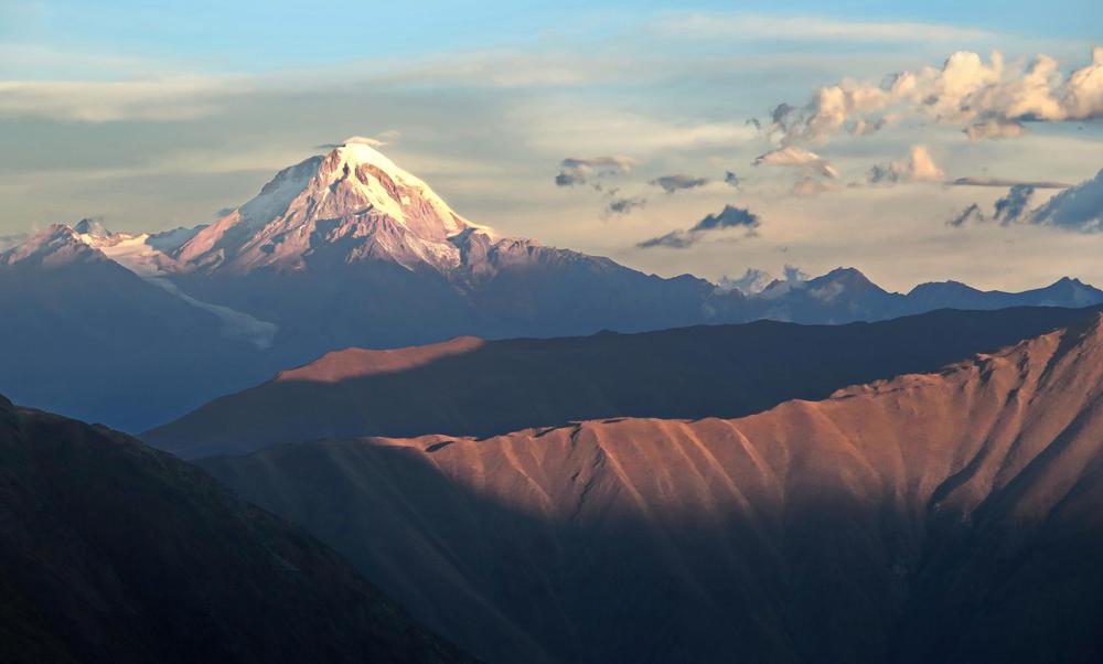
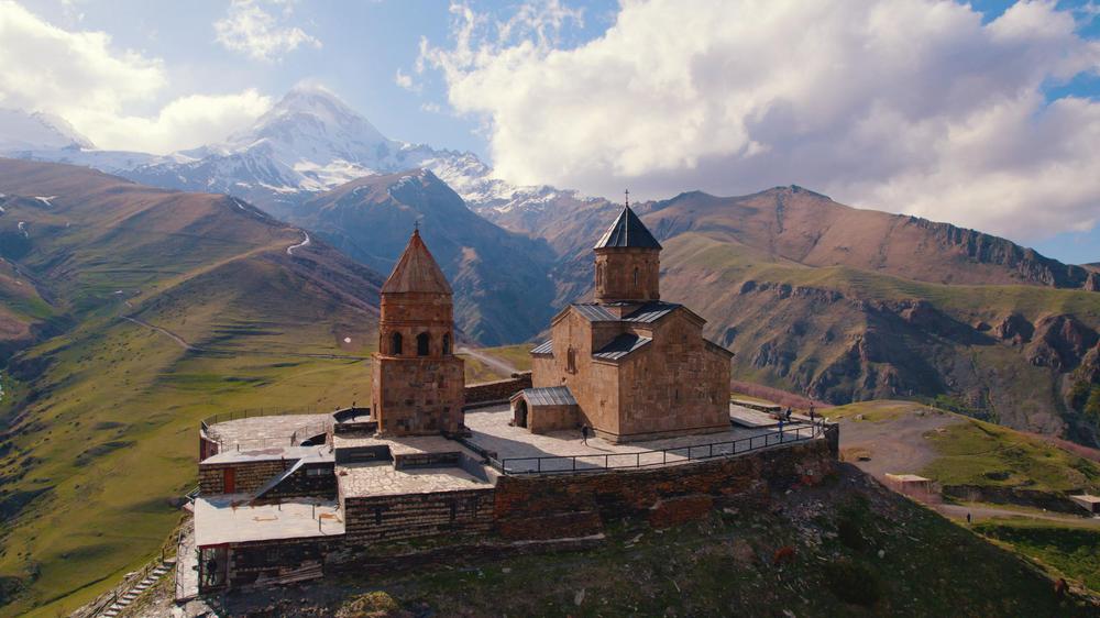
Tucked within the Kazbegi District of Georgia, the Gergeti Glacier sits majestically on the southeastern slope of Mt. Kazbek, also known as Ortsveri. A colossal spectacle, this glacier stretches an impressive 7.1 kilometers (4.4 miles) in length, and its surface covers an area of 11 square kilometers (4.2 square miles).
As one stands in the shadow of the Gergeti Glacier, the glacier's tongue can be seen descending to an altitude of 2,900 meters (approximately 9,500 feet) above sea level. This is not merely a glacier but a story etched by nature, most of it resting within an ancient and eroded volcanic caldera.
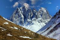
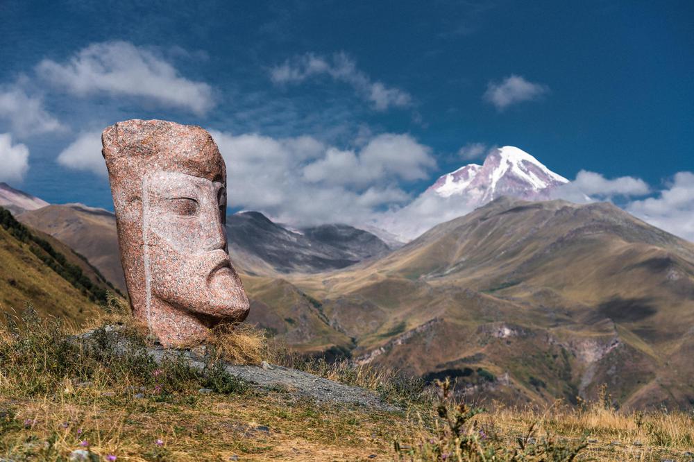
As one gazes up at the northern rim of the caldera, the imposing cone of Mt. Kazbek rises defiantly into the sky. In contrast, the southern rim, where the glacier descends, is flanked by the formidable presence of Mount Ortsveri.
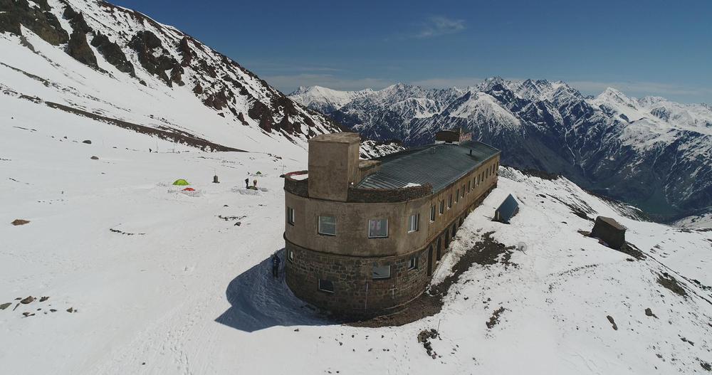
High up on the glacier's left edge, at an elevation of 3,650 meters (about 11,980 feet) above sea level, lies a meteorological station. This outpost keeps a vigilant watch over the glacier's condition, measuring and documenting its evolution under the ever-changing weather conditions.

