Nestled along the banks of the Alazani River, the Alazani Floodplain Forests stand as a testament to nature's grandeur and resilience. Stretching across a sprawling 204.4 ha (505 acres), this natural monument is found in the Dedoplistsqaro Municipality, a short jaunt southwest from the village of Pirosmani. And guess what? You're standing at an impressive 165 meters (541 ft) above sea level!
Journeying through this floodplain forest feels like a delightful, slow-paced adventure. Due to the dense forest, covering just 1 km (0.62 mi) in the area affectionately termed Kakliskure or Walnut Bay takes about an hour. But oh, is it worth it!
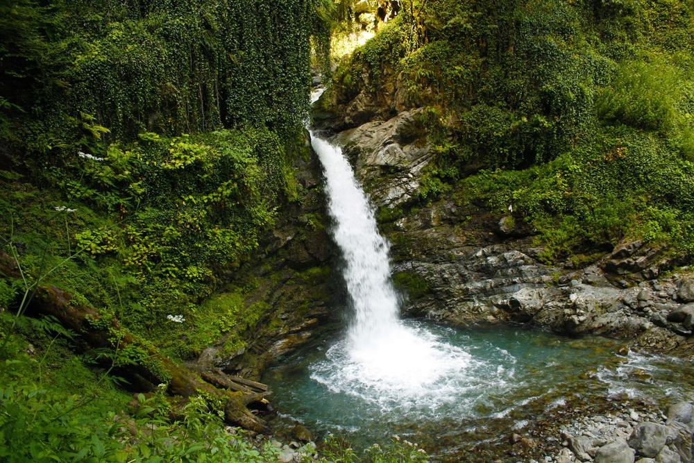
If trees could tell tales, the perennial walnut, ash, oak, and elm would spin tales spanning centuries. It's fascinating to think that this is Georgia's only natural habitat for the walnut tree. Enveloped by a curtain of lianas, these trees coexist with distinctive floodplain bushes, making it a real-life fairy-tale forest.
The significance of Alazani goes beyond its beauty. It functions as a vital migration corridor, bridging the gap between arid zones and the majestic Caucasus Mountains. For countless birds and diverse species, it's both a home and a haven.
In essence, Alazani Floodplain Forests is not just a destination but an experience. It's an opportunity to connect, to reflect, and to appreciate nature's wonders.

