Nestled in the majestic Greater Caucasus Mountain Range's southern slopes lies the Lekhziri Glacier, a formidable testament to nature's frozen wonders in the Svaneti Region of Georgia. This glacier complex, spanning a surface area of 33.4 square kilometres (approximately 12.9 square miles), extends an impressive length of 11.5 kilometres (about 7.1 miles). Its tongue gracefully descends down to an elevation of 1,950 metres (approximately 6,398 feet) above sea level.
The Lekhziri Glacier, within Mestia municipality, is more than just a singular glacier. It comprises three separate glaciers— North, East, and West Lekhziri. Where these glaciers intersect, the surface of Lekhziri becomes intriguingly rich in morainal sediments and debris. The glacier's sustenance derives from the ice-flows and avalanches off the neighboring mountains, marking an astounding demonstration of nature's cyclical processes.
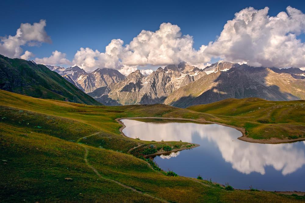
A particularly fascinating feature of Lekhziri is its complex array of glacial formations. Glacial ridges, tables, mushrooms, and mills dot the landscape, providing captivating geological intricacies. Moreover, numerous meltwater streams contribute to two large lakes situated within the eastern branch of the glacier.
Lekhziri's bountiful ice and snow feeds the Mulkhri River's right tributary, Mestiachala, which flows out of the glacier. The glacier's nourishment comes from the snowy precipitations of the neighboring mountain peaks like Bashili, Svetghari, Marianajhi, Latskhi, Jantugani, Ulukari, Bzhedukhi, and Dalakori.
Throughout history, the glacier's form has undergone significant changes. In 1960, Lekhziri was formed of three streams and boasted a cross shape. The glacier's tongue ended at an elevation of 1,970 meters (approximately 6,463 feet) above sea level. However, by 2012, the central stream had separated from the main streams, resulting in the formation of one of Georgia's largest limestone pavement gorge-type glaciers - The North Lekhziri. As of 2015, the combined area of the two primary Lekhziri streams was 23.26 square kilometers (about 8.98 square miles), with a length of 14.54 kilometers (around 9.03 miles), and the glacier's tongue concluded at an elevation of 2,320 meters (approximately 7,612 feet) above sea level.
Lekhziri Glacier continues to captivate the scientific community. As recently as 2011, the Institute of Geography's glaciological group, led by Levan Tielidze, undertook a field expedition to further unravel Lekhziri's icy secrets. These continuous research efforts underscore the glacier's importance in understanding climate dynamics and glacier morphology in this stunning region of the world.